STRUCTURE
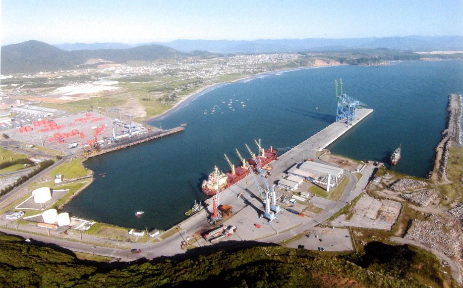
GEOGRAPHIC DATA:
LOCATION: Lat 28 °14'S and Long 048 °40'W
NAUTICAL CHARTS: 1908CHM e BA546
TERRESTRIAL AREA: 1.550.000M²
AQUATIC AREA: 750.000m²
LOCAL TIME: GMT - 3
ANCHORAGE AREA: Lat 28°12'32"S and Long 048°38'44"
ACCESS CHANNEL: Extension of 4.000m, 245 m wide
and 17m deep.
EVOLUTION BASIN: 450m in diameter and 15,5m depth.
DENSITY: salt water, 1.024/1.025
TIDE RANGE: from 0.10m to 1.20m
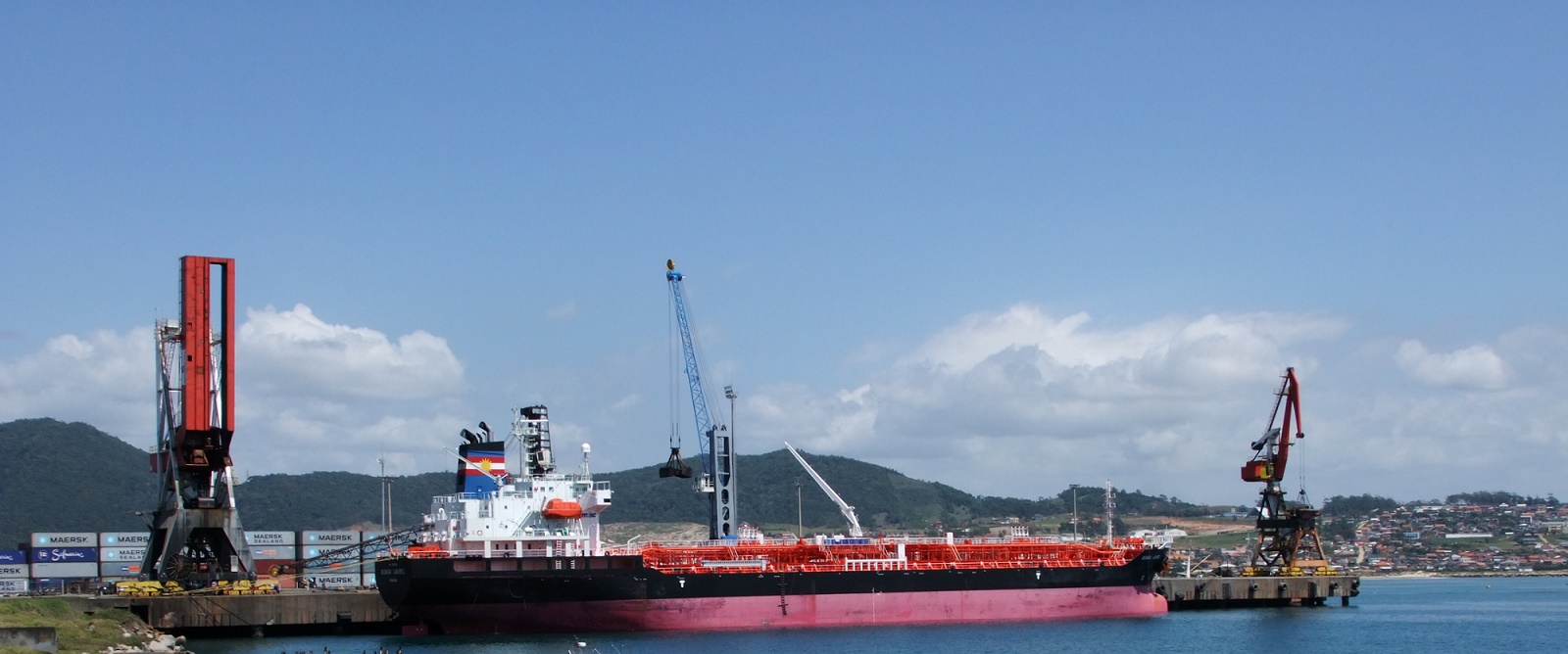
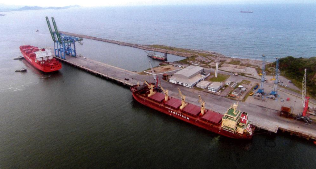
BERTHS:
BERTHS #1 and #2 (conjugates):
Totaling 330.000m² of operational area and 660m of berthing length, no air draft and maneuvers hours restrictions.
BERTH #1:
With 330 m long, accepts vessels with maximum LOA of 290m, and a maximum draft of 13,50m. Its preferred order is liquid bulk carriers, dry bulk, general cargo and others.
BERTH #2:
With 330m in length, includes ships with maximum LOA of 290m, with a maximum draft of 13,50m. Its priority is for containers vessels and the preferential order is for general cargo vessels, dry bulk, liquid bulk and others.
BERTH #3:
With 245m length, allows berthing of vessels up to 200m LOA, with a maximum draft of 10.80m. Ships with a draft of up to 11,50m, should await high tide to berth. Its preferential order are ships with dry bulk, liquid bulk and others. Also, there are no air draft as well as maneuvers hours restrictions.


